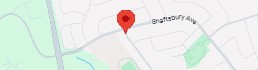
43.8954625 N, 79.4648973 W Richmond Hill, ON, Canada
The Pavement Problem
Small pavement issues today can become major expenses tomorrow.
Costs Keep Climbing
Reactive maintenance leads to higher repair costs, unexpected expenses, and budget overruns.
Risks Increase
Undetected pavement damage can compromise public safety, accelerate deterioration, and increase liability.
Valuable Time Is Lost
Manual inspections, disconnected images, and spreadsheets consume valuable time and delay critical decisions.
Access. Analyze. Act.
Intelligent pavement insights delivered through one secure web-based platform.
Access Online
Sign in securely from any web browser—no software installation or specialized equipment required.
Analyze with AI
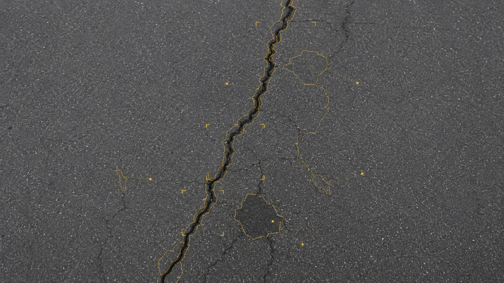
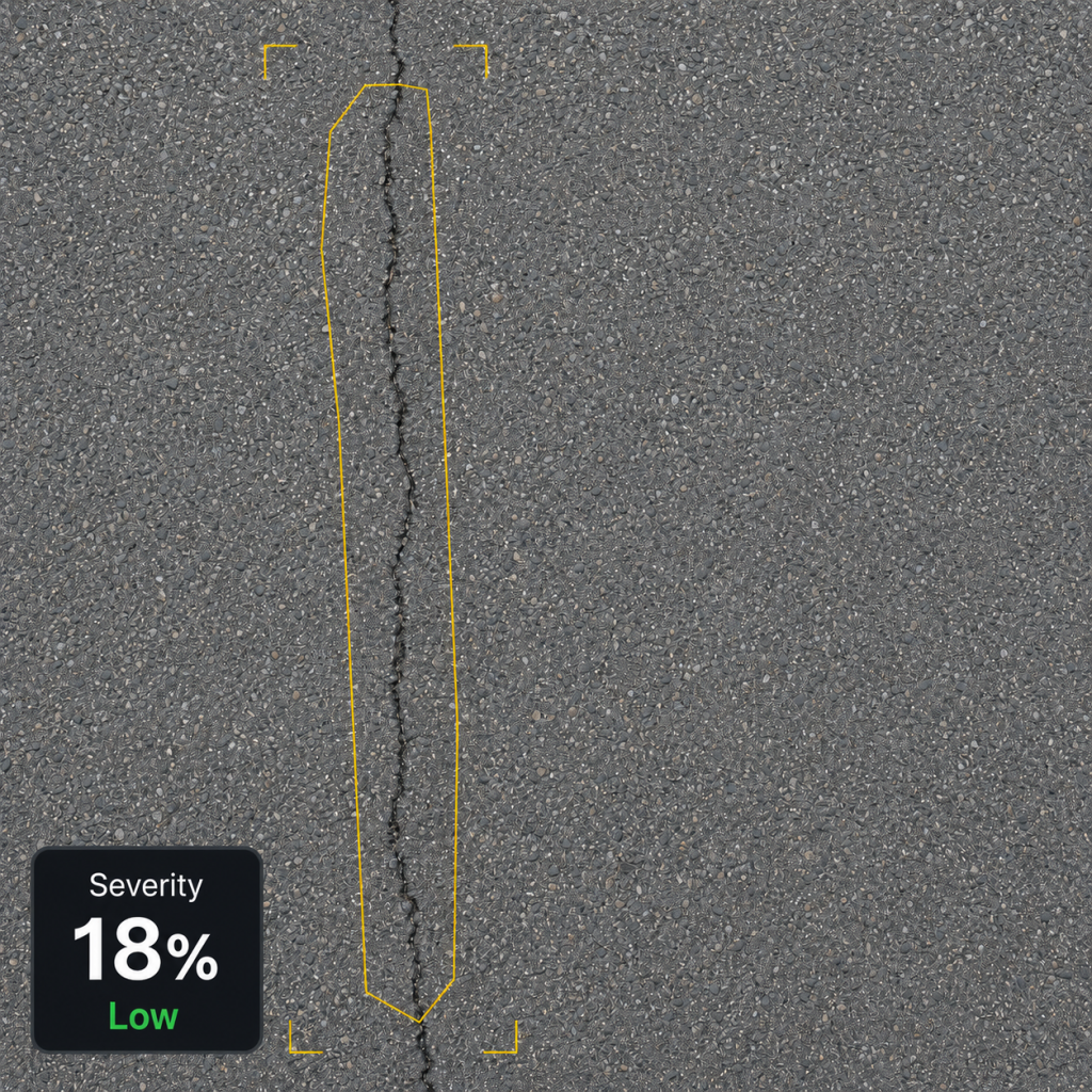
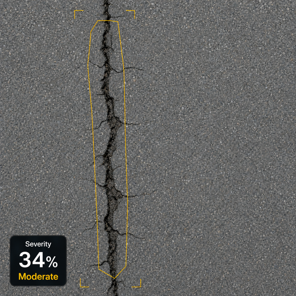
Pave Vision analyzes geotagged pavement images to identify defects, measure severity, and map each inspection.
Track and Report
Compare inspections over time, monitor deterioration, and generate actionable reports for better maintenance decisions.
Powerful Features, Build for Intelligent Pavement Inspection
AI Damage Detection
Advanced computer vision identifies cracks, potholes, raveling, patching, and other pavement defects.
Severity Analysis
Measures damage severity based on length, area, and intensity for consistent scoring and prioritization.
Geolocation Mapping
Pins every inspection to precise GPS coordinates for accurate mapping and pavement asset management.
Historical Comparison
Compare inspections over time to monitor deterioration trends and evaluate maintenance impact.
Downloadable Reports
Generate professional inspection reports and export results for teams, clients, and stakeholders.
Secure Cloud Archive
Securely store inspection images, reports, and historical data in one centralized cloud archive.
See Changes. Make Better Decisions.
Track deterioration over time at the same location.
May 22, 2025
May 25, 2026
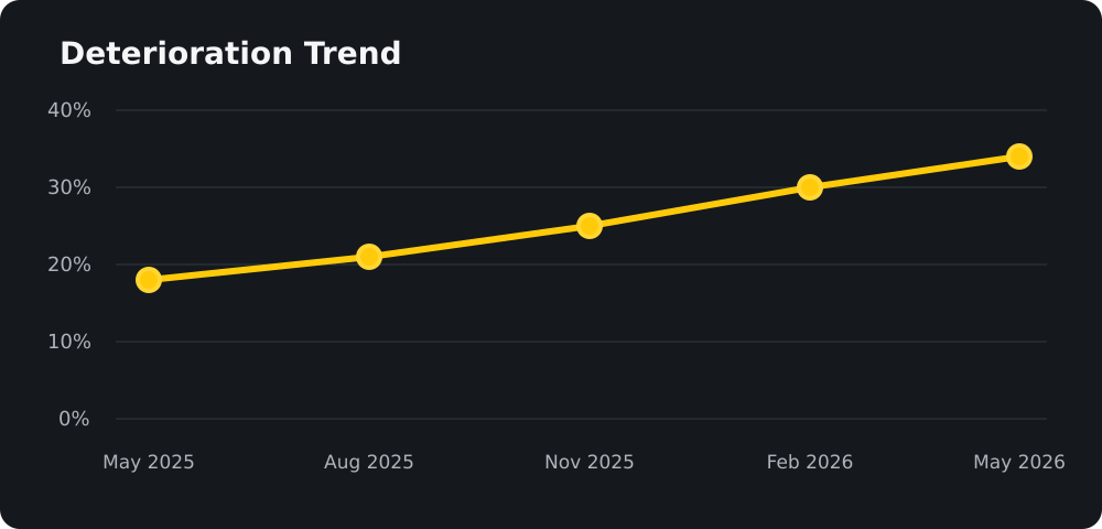
Deterioration Trend
Severity increased 16% over 12 months.
Consider preventative maintenance.
Built for the People Who Keep Infrastructure Moving
From municipalities to engineering firms, Pave Vision helps infrastructure teams inspect pavement faster, track deterioration, and make data-driven maintenance decisions.
Municipalities
Manage roads and assets with confidence.
Contractors
Deliver better work with data you can trust.
Engineering Firms
Make informed decisions faster and easier.
Property Managers
Protect assets and plan ahead with less risk.
Simple Plans. Smarter Pavement Decisions.
Choose the plan that fits your inspection needs and turn pavement images into actionable insights.